1. Meeting with the client is the first step in the surveying process. In this meeting, it will be determined what kind of a survey is necessary for the job at hand.
2. Research will be gathered from varies offices in the county’s courthouse in which the job is located. Depending on the job, government agencies such as the Indiana Department of Transportation or the Indiana Department of Natural Resources may need to be contacted.
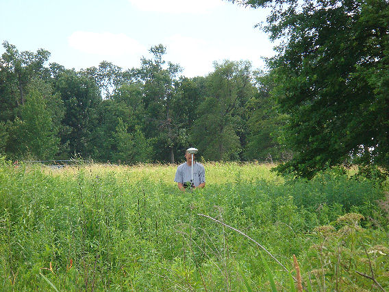
3. Fieldwork will begin after the research is complete. This will involve measuring existing Section corners, monuments and evidence of boundary lines such as fences, field division and yard divisions. Other improvements on the property can also be located such as buildings, driveways, ponds, utilities, etc.
4. After the completion of the fieldwork, the field notes are brought back to the office. Deeds along with the field notes will be used to calculate the existing job at hand. Paper work will be drawn up which will include a diagram of the survey, surveyors report, certificates and a legal description of the property if applicable.
5. In most cases, another trip will need to be made to the property to set any missing or newly established property corners. Typical monuments set are mag nails or railroad spikes in the roads and 5/8 inch rebars in the ground.
6. The final step is to have the drawings signed by the client in front of a notary. The drawings can then be taken to the courthouse. The drawings will be reviewed and signed off on by different offices in the courthouse if applicable. If necessary, a copy of the recorded survey can be taken to an attorney or title company so that a deed can be prepared to transfer the property.
When a survey may be needed:
- Prior to purchasing land
- Prior to installing a fence, building a house, or other types of construction
- Surveying a larger tract of land into smaller parcels
- Possible removal of a structure or property from a flood zone
- To verify the amount of land being assessed for taxes
- Possible encroachments by a neighbor


